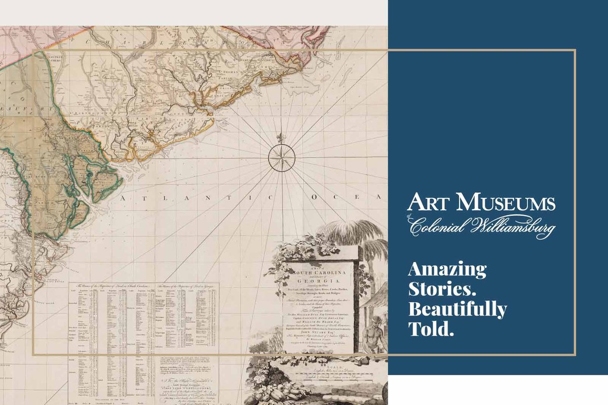
Mapping Colonial South Carolina and Georgia
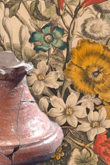
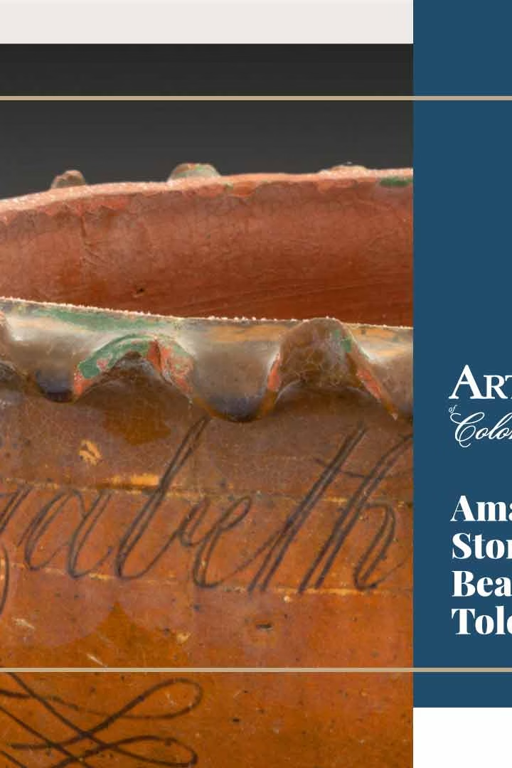
Every object has a story. The Art Museums of Colonial Williamsburg tell the stories of a breathtaking range of folk and decorative art. Let's explore this map of South Carolina and Georgia from our collections. Like this kind of stuff? We've got tons of it.
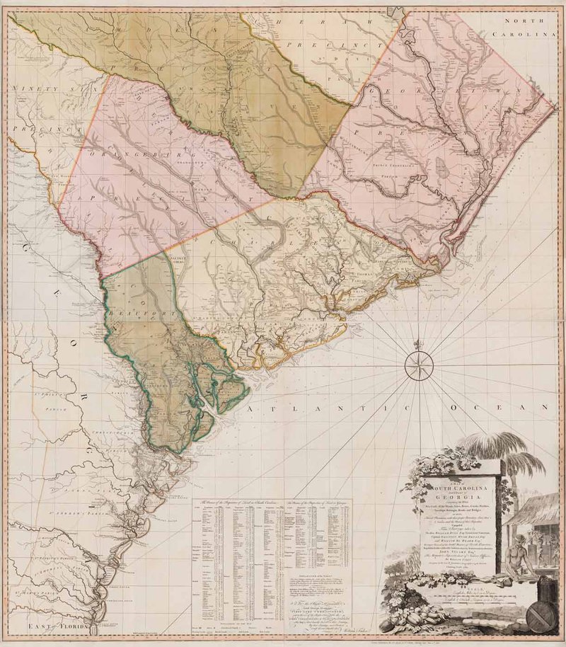
A Map of South Carolina and a part of Georgia…, published by William Faden (1750-1836) after William Gerard De Brahm (1718-ca. 1799) after Thomas Jeffreys (ca. 1710-1771), Great Britain, England, London, 1780, black and white line engraving with period hand color on laid paper, in two sheets: top sheet H: 28” x W: 48 ½”, bottom sheet H: 28” x W: 48 ½”, Museum Purchase, 2019-59, A&B.
What is it?
Hand-painted with watercolor and in almost pristine condition, this rare, engraved map was published at the height of the Revolution. Due to contemporary interest in the region, William Faden, successor to Thomas Jeffreys, updated the copper plates for a 1757 version made by cartographer William Gerard De Brahm. It was engraved on four sheets of laid paper, which when assembled, measure an impressive four feet square.
What’s the Story?
Today, when we want to know where we are or where we are going, we simply open an app on our phone or computer and expect to find the whole world accurately mapped-out for us. In the 18th century, mapmakers gathered old and new information in order to visualize the world on paper. This 1780 map of South Carolina and Georgia reveals how an older map was altered to reflect change over time, largely as the result of information gathered by an Imperial agent working on the edges of the British empire.
In 1757, De Brahm published a map of the region that was viewed then, as it is today, as a remarkable achievement of enlightenment map-making because rather than filling spaces where detailed information was lacking, it left them blank. They were an alluring call for financial interest in the colony and settlement. However, this land was not empty. American Indians inhabited it for millennia, and by 1757 it was also occupied by European traders operating outside of the formal trade networks that the Crown struggled to control.
Twenty-three years later, the map was updated at the height of the Revolution. Much of the new material was supplied by John Stuart, who served as Superintendent of Indian Affairs for the Southern District. The Proclamation Line of 1763 created a barrier between the eastern land open to white settlers and the interior of the colony which was reserved for allied Indian nations. Stuart understood that maps were essential tools of empire. He bemoaned the lack of accurate maps needed to conduct his work, which often involved boundary disputes between Indians and settlers. Stuart and his staff gathered geographic information, sometimes gleaned from Native sources, and provided his findings to the Board of Trade. The board hired Jeffreys’s successor to reuse De Brahm’s copper plates in order to update the map as the Revolution reached the Southern colonies in 1780.
The revisions were so major that some scholars consider the result to be virtually a new map. This 1780 version included new county names, roadways, place names and settlements across the entire map, revealing the amount of information that was gathered over a span of less than 20 years. One element, however, remained the same: the cartouche depicting enslaved men processing indigo. The cartouche is a visible reminder that enslaved labor was the cornerstone that made this colony important and profitable.
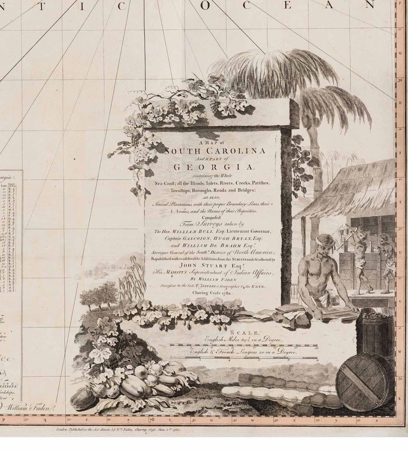
Stuart’s name was added to the cartouche of the map to acknowledge his contribution.
Why it Matters
We forget the time and effort that went into the creation of maps in the 18th century and who might have influenced or supplied the data used to create them. Stuart, who never lived to see the map completed, endeavored for over a decade to quantify an area that was ever-changing and never concrete. Analyzing his efforts to define imperial and Native space provides a better understanding of the complicated forces and tensions that undermined the British Board of Trade’s efforts to control and define the British empire was in North America.
See for Yourself
You can find map of South Carolina and Georgia and tens of thousands of objects in our Online Collections. We also invite you to see this remarkable object in person at the Art Museums of Colonial Williamsburg and discover more amazing stories, beautifully told.
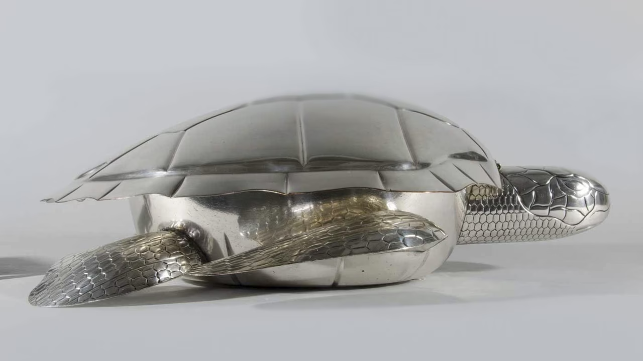
This soup tureen, made in early nineteenth-century England, is shaped like a sea turtle.
Explore Pieces from the Collection

Art Museums of Colonial Williamsburg
Explore museum experiences, collections, exhibitions, virtual experiences, conservation, and more.
